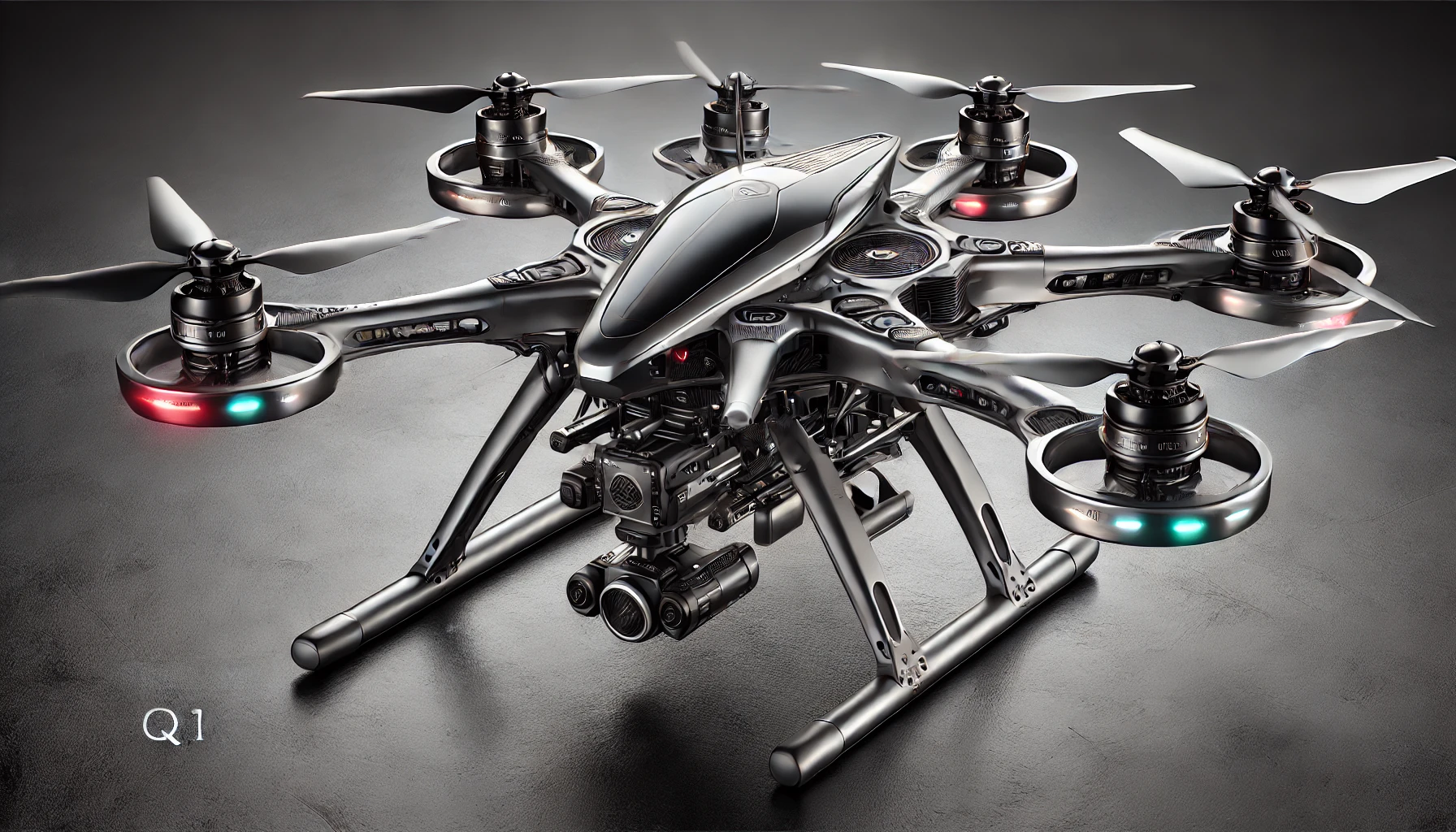
AstroSurvey Q1 Geospatial Mapping Drone
"Advanced Geospatial Mapping for Precision Analysis"
Product Summary
The AstroSurvey Q1 Geospatial Mapping Drone is engineered for high-precision aerial surveying and mapping applications. Integrating multispectral imaging, LiDAR technology, and precision positioning systems, the AstroSurvey Q1 delivers centimeter-level accuracy for detailed terrain analysis, volumetric calculations, and environmental monitoring. Designed for surveying professionals, urban planners, agricultural specialists, and civil engineers, it streamlines complex mapping tasks with automated workflows and professional-grade data outputs.
Send Us a Message
Fill out the form below and a member of our team will get back to you as soon as possible.
Key Features
High-Precision Mapping
Sub-centimeter positional accuracy using RTK/PPK technology for professional-grade survey results.
Advanced Sensor Suite
Multi-sensor integration including high-resolution RGB, multispectral, and LiDAR capabilities.
Automated Mission Planning
Intelligent flight planning with terrain following and automated survey patterns for comprehensive coverage.
Enterprise Integration
Seamless data pipelines to industry-standard GIS, CAD, and BIM software through open formats.
Processing Automation
Intelligent data processing with specialized algorithms for point cloud classification and feature extraction.
Detailed Specifications
Hardware
Imaging & Sensors
- RGB Camera: 42MP full-frame sensor with global shutter
- Multispectral Camera: 5-band sensor (RGB, Red Edge, NIR)
- LiDAR: 360° mapping with 600,000 points per second
- Positioning: Multi-band GNSS with RTK/PPK capability
Flight Characteristics
- Flight Time: Up to 50 minutes per battery
- Coverage: Up to 180 hectares per flight at 120m altitude
- Wind Resistance: Stable in winds up to 45 km/h
- Weather Protection: IP55 rated for dust and water resistance
Accuracy & Performance
- Absolute Accuracy: 1-3cm horizontal, 3-5cm vertical with RTK
- Point Cloud Density: Up to 200 points/m² at 100m altitude
- GSD (Ground Sampling Distance): Down to 0.7cm/pixel at 50m
Software
Mission Control Software
- Automated Flight Planning: Terrain-following and adaptive grid spacing
- Survey Types: Linear, grid, corridor, polygon with customizable parameters
- Obstacle Avoidance: Intelligent path planning with dynamic adjustment
Data Processing
- Photogrammetry Engine: Structure from Motion with Multi-View Stereo
- LiDAR Processing: Automatic classification and filtering
- Analysis Tools: Volume calculation, contour generation, cross-sections
Integration Capabilities
- API Access: RESTful APIs for automated workflow integration
- Cloud Processing: Optional cloud services for intensive processing tasks
- Ground Control: Support for traditional ground control points and CORS network integration
Applications & Use Cases
Surveying & Construction
Topographic Surveys: Generate detailed elevation models and contour maps with centimeter-level precision for project planning and design.
Construction Monitoring: Regular site surveys to track progress, calculate volumetric changes, and verify as-built conditions against design specifications.
Infrastructure Inspection: Detailed mapping of roads, railways, pipelines, and other linear infrastructure for maintenance planning and condition assessment.
Environmental & Agricultural Applications
Precision Agriculture: Multispectral analysis for crop health assessment, irrigation planning, and yield optimization using vegetation indices.
Environmental Monitoring: Track changes in land use, vegetation health, water resources, and environmental impacts over time.
Forestry Management: Tree counting, species identification, biomass estimation, and forest health assessment using specialized algorithms.
Urban Planning & Analysis
3D City Modeling: Create detailed urban digital twins for planning, visualization, and simulation of urban development projects.
Cadastral Mapping: Property boundary surveys and land parcel documentation with high positional accuracy.
Utilities Mapping: Combined LiDAR and multispectral imaging to identify and document above-ground utility infrastructure.
Integration Diagram
 +---------------------------+         +---------------------------+         +---------------------------+
 |   AstroSurvey Q1 Drone    |  --->   | Data Processing &         |  --->   | GIS, CAD, Surveying       |
 | - Multispectral & LiDAR   |         | Analytics Software        |         | Software                  |
 +---------------------------+         +---------------------------+         +---------------------------+
           |      ^                                |      ^                             |      ^
           |      |                                |      |                             |      |
           v      |                                v      |                             v      |
    +-----------------+                +-------------------------+
    | Mission Planning | <------------  | Data Export & Reporting |
    | & Control App    |                | Tools                   |
    +-----------------+                +-------------------------+
Setup and Configuration
Pre-Deployment Checks
Hardware Inspection: Confirm the calibration of cameras, sensors, and battery health before deployment.
Software Update: Ensure the dashboard and mobile app are running the latest firmware for optimal performance.
Network Verification: Verify stable connectivity (Wi-Fi/4G/5G) for uninterrupted data transfer during inspections.
Deployment Process
Initiating Flight: Launch via the inspection dashboard with step-by-step on-screen guidance for optimal mission parameters.
In-Flight Monitoring: Utilize the dashboard for real-time telemetry, image feeds, and sensor data visualization during the inspection.
Emergency Procedures: Activate automated return-to-base protocols if battery or system anomalies are detected during the mission.
System Integration
API Setup: Configure secure API endpoints as per the SDK guidelines for seamless enterprise system integration.
Data Mapping: Align sensor outputs and inspection data with the enterprise asset management framework for cohesive analysis.
Security Configuration: Enable data encryption, geo-fencing, and compliance measures for operational security during inspections.
Support & Troubleshooting
FAQs
Q1: How do I calibrate the imaging and sensor systems?
A1: Calibration is integrated into the pre-flight checklist, with options for manual adjustments via the inspection dashboard if needed for specific inspection tasks.
Q2: What are the optimal operating conditions?
A2: The AstroSurvey Q1 performs best in environments between -10°C and 45°C for versatile deployment across various environments.
Q3: How are firmware updates managed?
A3: Firmware is updated over-the-air (OTA) using an automated wizard accessible through the inspection dashboard, ensuring minimal downtime during maintenance.
Contact Information
Support Hotline: +1-800-ASTR-OFLY (278-767-359)
Email: support@astroflyrobotics.com
Live Chat: Available on the Survey Dashboard
Support Portal: www.astroflyrobotics.com/support